QGIS MapServer
 Marco Hugentobler at the Institute of Cartography, ETH Zurich has announced the QGIS MapServer project.
From the website: “QGIS mapserver is a server module for geographic maps. The content of vector and raster datasources (e.g. shapefiles, gml, postgis, wfs, geotiff ) is visualized according to the request parameters. The generated map image is sent back to the client over the internet.”
This project is very much in the early stages, as it requires a specific development version of QGIS. There is a Windows binary available for download as well as packages for Ubuntu (make sure to read the caveat).
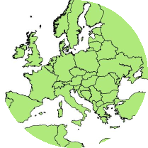
You can also view a sample map request that displays the countries of Europe.